![[OLD FALL 2020] 15-104 • Introduction to Computing for Creative Practice](https://courses.ideate.cmu.edu/15-104/f2020/wp-content/uploads/2021/09/stop-banner.png)
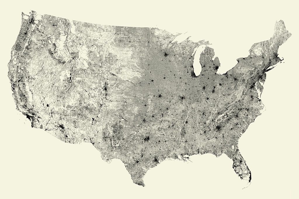
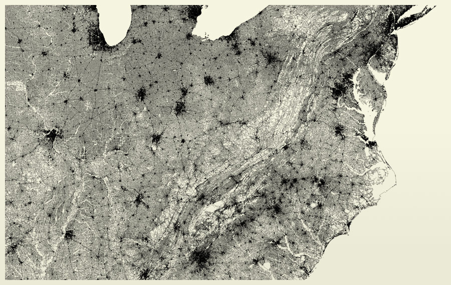
All Streets Limited (2007) by Ben Fry
In Bon’s Looking Outwards on Data Visualization, he examined All Streets Limited by Ben Fry. Fry used data from the U.S. Census Bureau to code the map in Javascript, which consists of 240 million individual road segments across the United States. He applied the Albers equal-area conic projection to obtain the longitude and latitude coordinates of the streets. I agree with Bon that the illustration provides a macro view of our national interconnectedness. After doing my own research, I also found it interesting that the map contains no other terrain (canyons, rivers, mountains, etc.), yet we can still see the shapes of these natural forms emerge as roads weave and navigate around, demonstrating the power dynamics between the natural and artificial/industrial.