Distant Planet
Looking through your amateur telescope, you can’t see much. The hills and valleys seem to stretch on endlessly. Nevertheless, you diligently mapped everything down, and looked harder for signs of life.
Process:
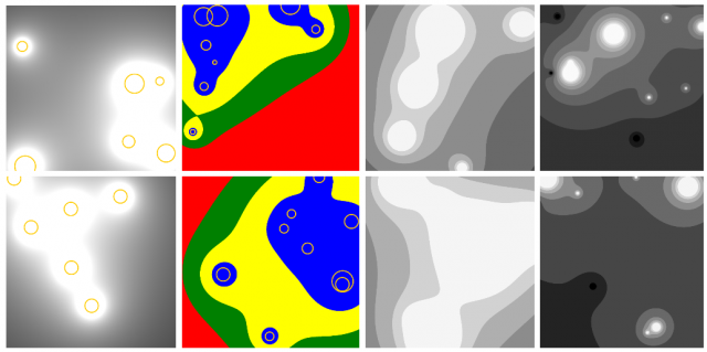
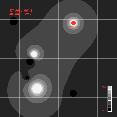
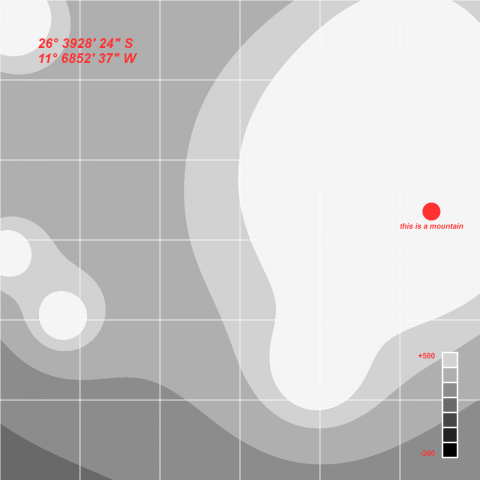
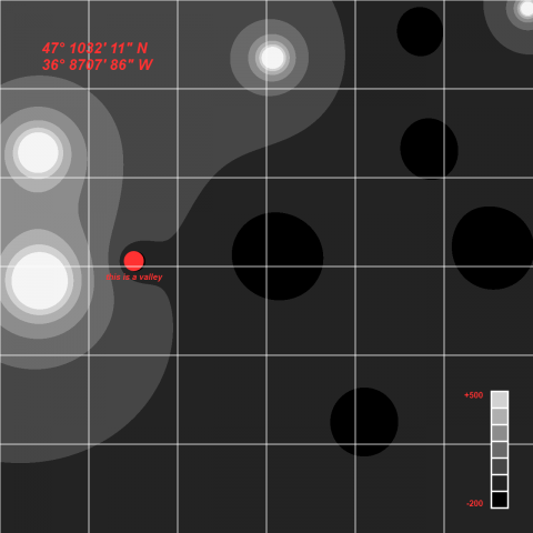
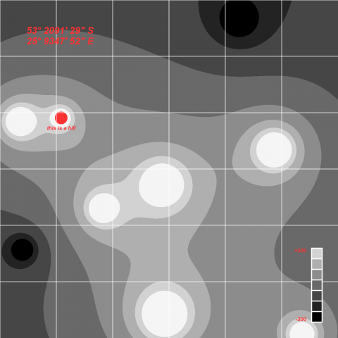
I wanted to create a topographic map, and I happened to stumble on this tutorial which I thought could be used achieve the effect I want. The “islands” are generated at random locations on the map, with a random size and height(shown in yellow circles in 1-2). The color of each pixel is then evaluated base on their distance to all islands and the height of that island, and I specified thresholds so it appears more like “levels” of land . At last, there’s some randomly generated coordinates and map legend drawn.
Although my original intention is to create like an “island on ocean” kind of map, I really liked the black and white color scheme and stuck with it. It reminded me of pictures of the moon’s surface.
More Pictures: