A unity walkaround with procedurally generated terrain of (medieval?) Pittsburgh. A simulator of ancient Pittsburgh, if you will.
An example of heightmap data used as terrain information. This information is available for almost the entirety of the US and many parts of the world at: https://heightmap.skydark.pl/

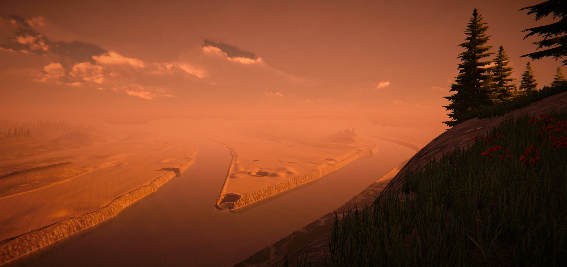 [Looking at point park from a little bit to the west of (what is now) Grandview Overlook]
For reference:
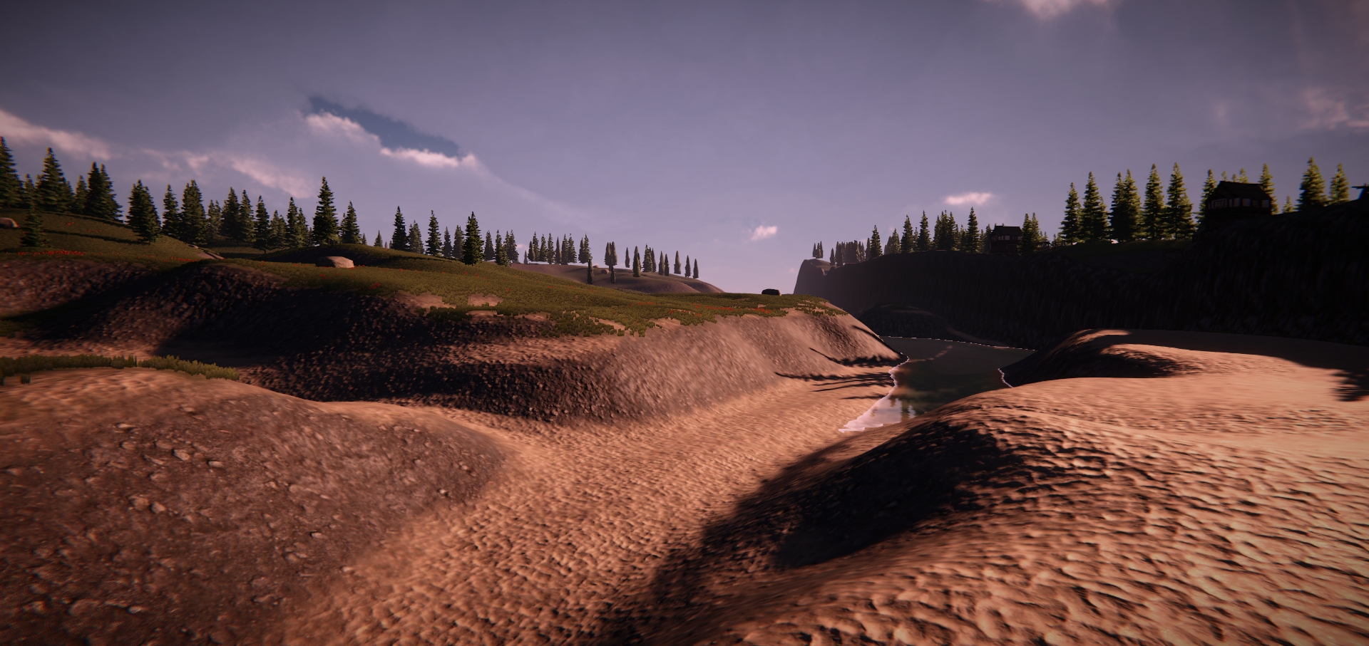 [Looking at Schendly from CMU]
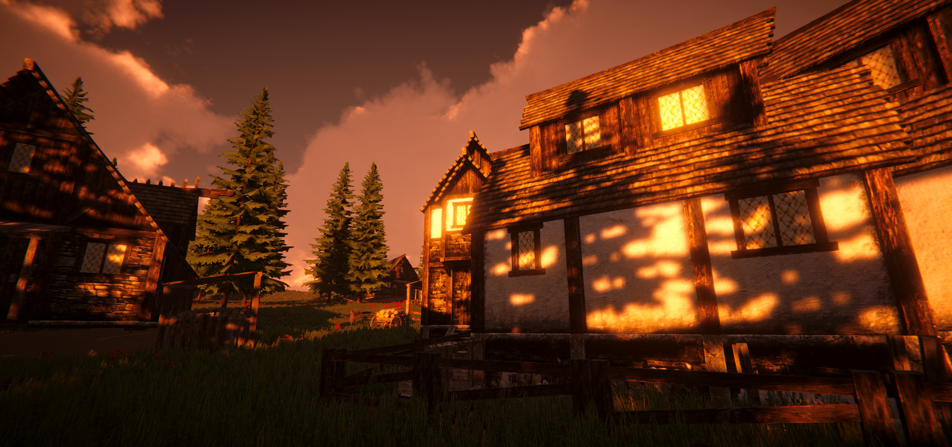 [Random houses on Mt. Washington (south shore of PGH)]