![[OLD SEMESTER] 15-104 • Introduction to Computing for Creative Practice](https://courses.ideate.cmu.edu/15-104/f2022/wp-content/uploads/2023/09/stop-banner.png)
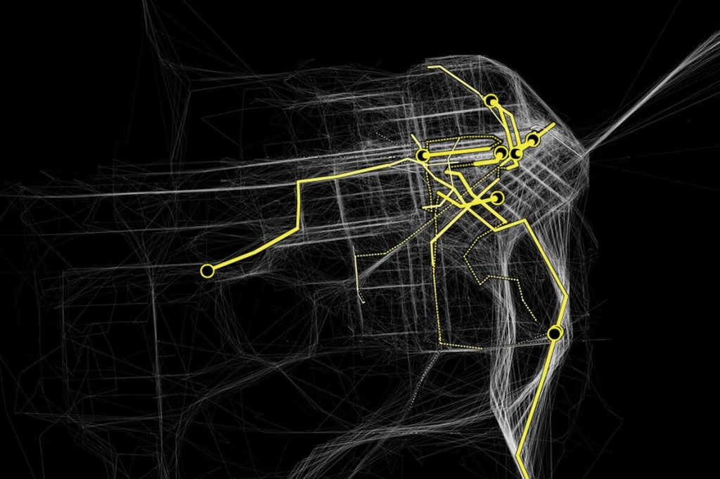
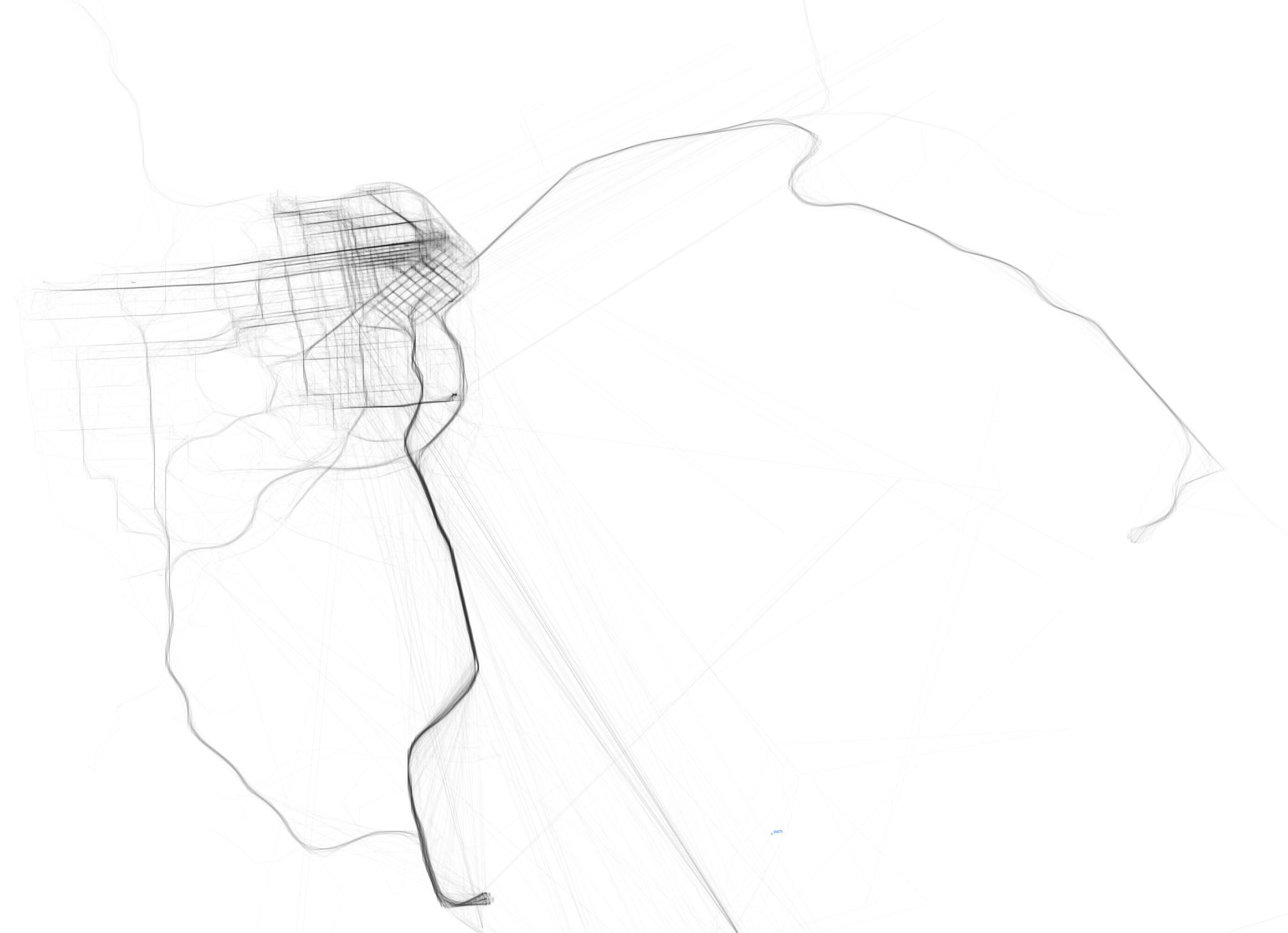
Cabspotting SF was created by Stamen Design for NYMoMA, originally as part of a research project called Invisible Dynamics (sponsored by the SF Exploratorium). This project was one of the first uses of realtime GPS data in data visualization. The movement of taxis is represented frame by frame as an array of semi-translucent yellow dots, which we can see intersect and densify in higher traffic areas. The concept is relatively simple, but the visualization is quite encapsulating (especially given that this project was done in 2008). The route of a single taxi can be singled out or compiled with the movement of all the other taxis at a given time and overlaid on a map that seems to glow. Stamen Design does many projects with a local focus, specializing in data visualization and cartography. They value aesthetics as well as thorough research, which is quite apparent in Cabspotting SF.