New Plan:
I think what I need to do is try to get smaller in order to finish my (rapidly-adjusted and deadline-approaching) thesis project. I will incorporate my work for ExpCap into the final moment of the performance where materials created over a Zoom-based, interactive performance event are amalgamated into a map for the participants to take with them.
The Project:
This project, Packing and Cracking, is work about gerrymandering that I have been creating for the past two years; however, in the past two to three weeks have been redeveloping it for an online performance.
I often describe it as follows:
Do we choose our politicians, or do our politicians choose us?
Packing and Cracking is an interactive mapmaking event (now online!) about gerrymandering: the pervasive practice of politicians choosing their voters rather than the other way around. Through participatory drawing and map-drawing games, Packing and Cracking uses critical cartography, historical accounts of the first gerrymanders, and interviews with people dealing with gerrymandering today to show how easy and disenfranchising gerrymandering can be and ask what, if anything, we should do about it.
The map and my work for ExpCap:
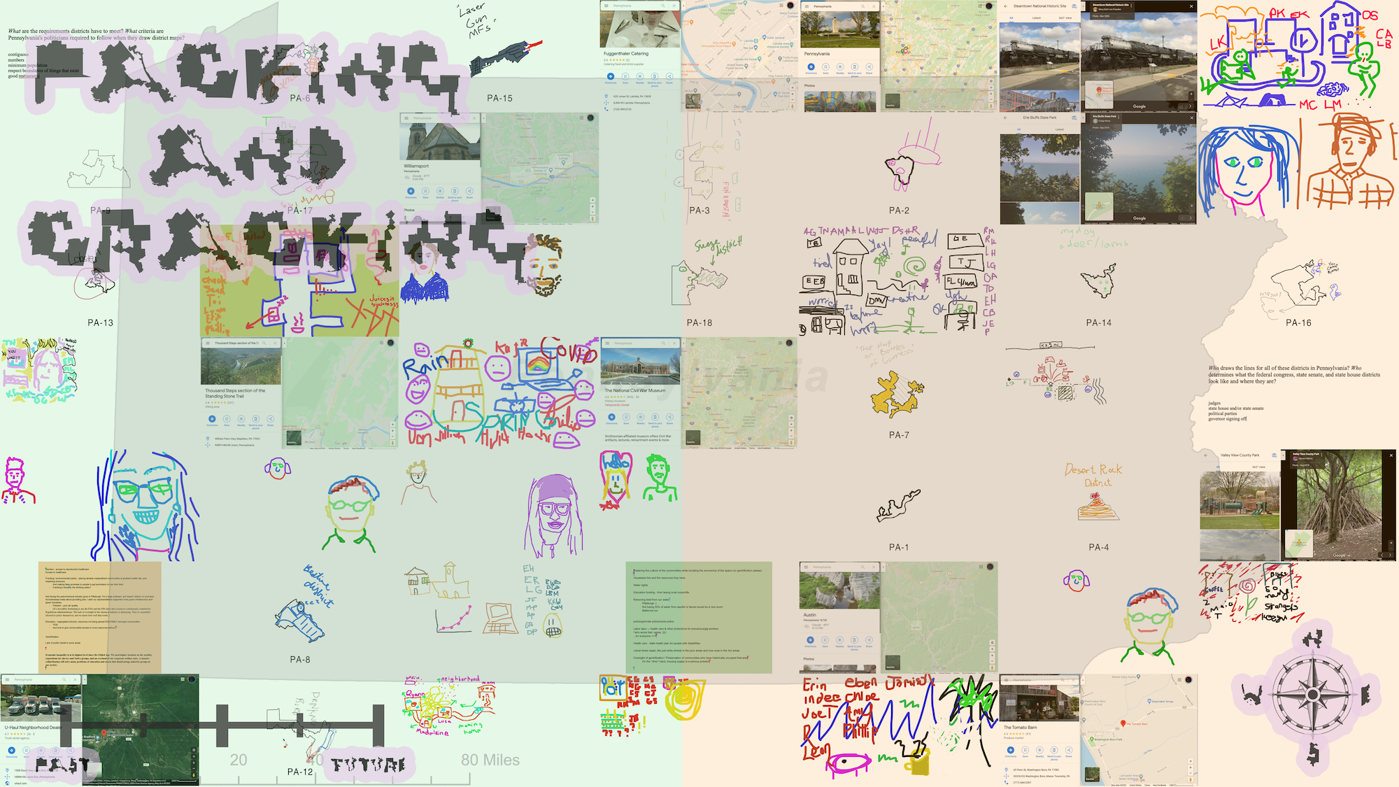
Throughout the experience, a collection of files are created from aggie.io (a collaborative painting application), screenshots of google map locations, collected group google doc writings, and images of other collaborative Zoom interactions. These are then turned into a map that folks take away with them and hopefully demonstrate the power of small actions of doing something, even if it is only to take 90 minutes to learn about gerrymandering. The image at the top of this post is a map from the second playtest. Essentially, I am collecting, formatting and randomizing images, and then creatively using some contact-sheet automation processes to produces a very high resolution image amalgamation (So folks can zoom in and read all of the materials created) . The link to a high resolution image from a third playtest round is here.
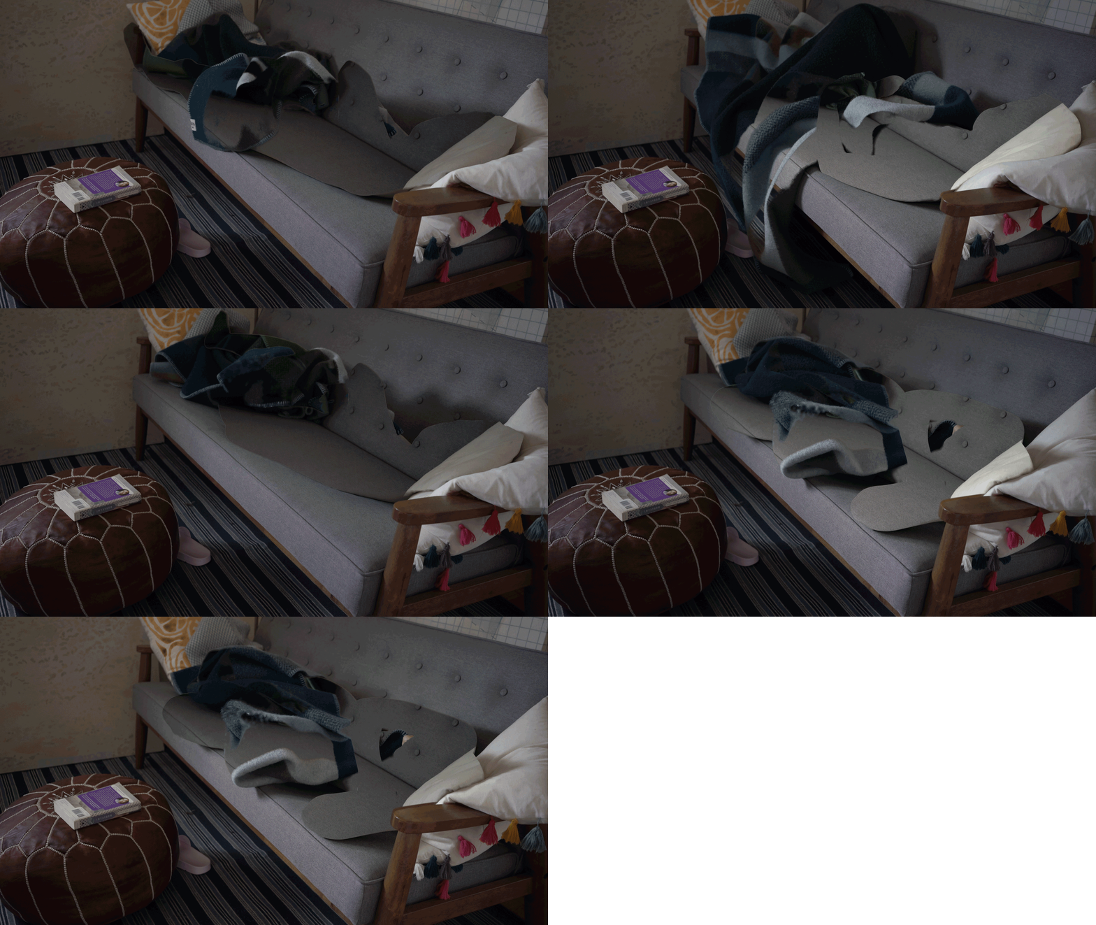
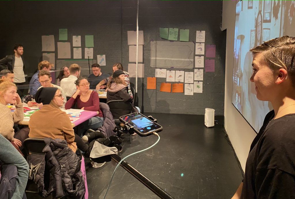
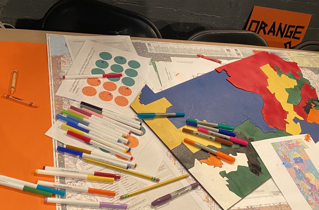
In the in-person version of this project, these images were created on paper and accumulated in the 3D space of the theater into an installation. I feel like the maps I am creating now would like to have a more 3D, or even more navigable effect or experience to their viewing. This is something I have been working on, but would like to use my time to expand on the research now that much of the rest of the experience has been rewritten.
The issues: It needs to be created pretty quickly in real time to be sharable with the audience in the last moment of the performance. Currently, I am just sweating out the image processing during the penultimate (5ish minute) video interview segment. Or, perhaps I make a 2D map and also 3D/ more travesible space to send out later – but ideally it would be included in the final moment of the show. The dataset of what is created along the way is a set of roughly 45-75 PNG files.
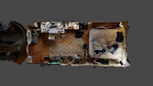
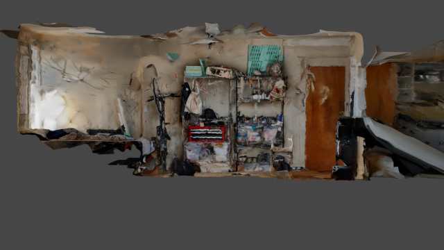
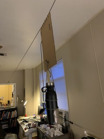
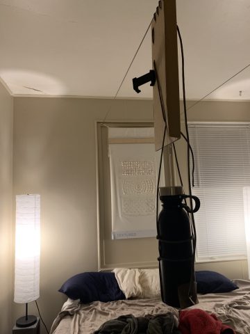
Below of are some picture of the last in-person show from a festival in January, so you can get a sense of what the previous accumulation used to look like.
In conclusion:
I have been having a hard time figuring out what I want to work on (re:ExpCAp) and focusing in general with all of this (even more than my usual large amount of) screentime. While I am very excited about this project, I can’t help but feel a bit disappointed about my output right now. I am usually highly motivated, but anxiety about the future (re: graduation) is also quite distracting. I love the home that is the studio, and have been very grateful for the space of this class. I like the offerings and will continue to do them as the small projects remind me to focus and that I do really love making things. Probably gonna cut my rambling off here, as I am already turning this in quite late.
Any advice/thoughts would be much appreciated!
Thanks y’all!


