Small Spaces is a survey of micro estates in the greater Pittsburgh area as an homage to Gordon Matta-Clark’s Fake Estates piece.
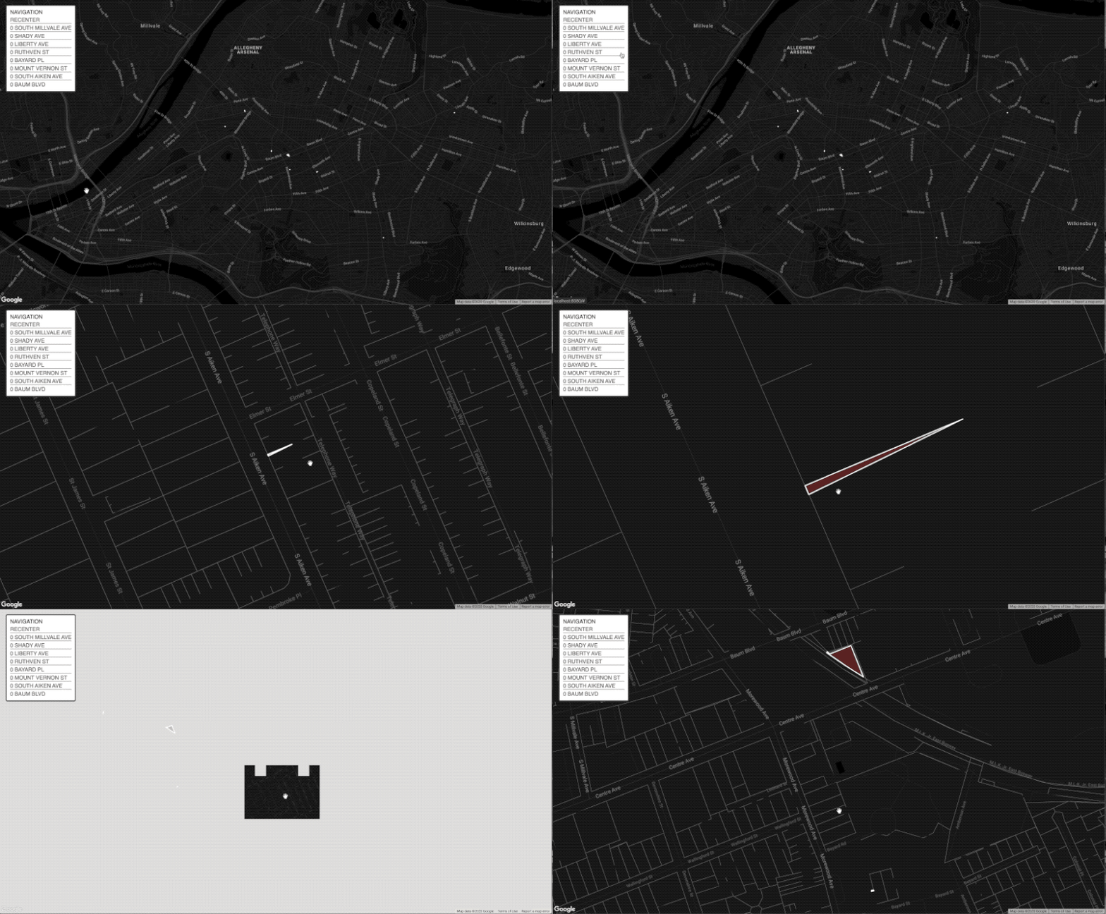
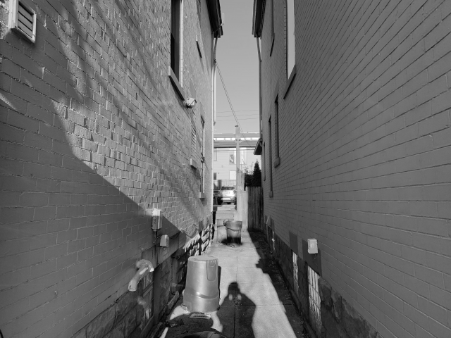
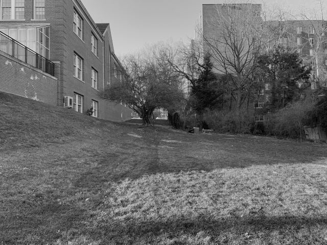
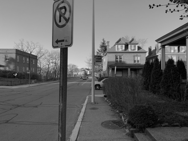
Through this project, I hoped to build on an existing typology defined by Gordon Matta-Clark when he highlighted the strange results of necessary and unnecessary tiny spaces in New York City. These spaces are interesting because they push the boundary between object and property, and their charm lies in their inability to hold substantial structure. It’s interesting that these plots even exist—one would assume some of the properties not owned by the government would be swallowed up into surrounding or nearby properties, but instead they have slipped through bureaucracy and zoning law. To begin, I worked from the WPRDC Parcels N’ At database and filtered estates using a max threshold a fifty square feet lot area. After picking through the data, I was left with eight properties. I then used D3.JS and an Observable Notebook to begin parsing data and finding the specific corner coordinates of these plots. At this point I reached the problem of representation. The original plan was to go to these sites and chalk out the boundaries, then photograph them. As I looked through the spaces, I realized many of them were larger than the lot area listed on the database. They were still small spaces, but large enough that the chalking approach would be awkward, coupled with some existing on grass plots, and one being a literal alley way. Frustrated, I went to the spaces and photographed them, but I felt that the photos failed to capture what makes these spaces so charming. Golan suggested taping outlines of these spaces on the floor of a room to show that they could all fit, which would definitely include some of the charm, but also lose all of the context. In an attempt to get past this block, I made a Google map site to show off these plots, hoping to strike inspiration from exploring them from above. Talking with Kyle led to a series of interesting concepts for how to treat these plots. One idea was to take a plot under my own care. What seemed to be a good fit was drone footage zooming out, so one can see these plots and their context. By the time I reached this conclusion, Pittsburgh had become a rainy gloom, so as a temporary stand in, I also made a video using Google Earth (as I was not able to get into Google Earth Cinema). Overall, I would call this project successful in capturing and exploring the data, but I have fallen short in representation. I hope to continue exploring how best to represent these spaces, and convey why I find them so fascinating using visual expression.


POST CRITIQUE FOLLOW UP:
As something Kyle and I discussed earlier, the question of what lots have the address of zero is an interesting one, given all of these spaces bear that address. I decided to make a small change to my filter script to find out the answer. Below is the result. Feel free to check out the Observable notebook where I filter this data.
