The Project:
The goal of this project is to create a tiled map of our spaces of quarantine using photogrammetry and high resolution 3d renderings. A ‘spaces of quarantine’ is a 4 walled area where you’ve spent a ton of time during this crisis. This instructional page will walk you through the steps to generate and share a model of your space. If you have any questions at all feel free to reach out to me via email or any other means.
Examples:
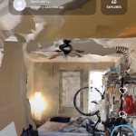
Photogrammetric scan of my space of quarantine:
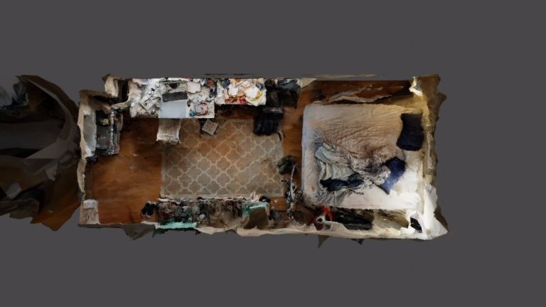
High resolution rendering of my space from above:
What to do:
- Download and get to know the display.land app
- Do some test scans. Below are some key pointers for photogrammetry
- Try to prevent shift in light, like shadow and fast moving light sources
- Do many sweeps of an object
- Move the camera around an object or over a surface — we want to get as many angles as possible on stuff
- Try to capture texture — the algorithm needs do be able to differentiate between points in the image, texture and variation in surface helps
- Avoid reflective surfaces — this really confuses things
- Be patient! It can take between 45 min to 5 hrs to process a model
- Scan your space of quarantine – this is the specific 4 walled space where you feel you’ve been spending a ton of time during this crisis.
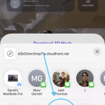
- Share the model. Below are instructions on how to do this in app
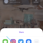
- Hit share
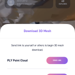
- Press share 3d mesh
- Chose OBJ format
- Share via email with me (dbperry@andrew.cmu.edu)
