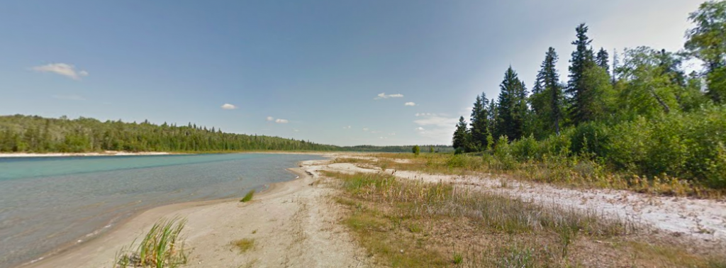
I am continuously amazed by the scale of Google Maps Street View / Google Earth. The fact that I can pick almost any road in the world and get a view as though I am there is insane. I love using it to look around my neighborhood and pretend that I’m taking a bike ride. Street View is also helpful when I’m going somewhere new. I appreciate that this compilation of images has been organized so that I can get a 3D view of so many places. I hope to encounter someone taking pictures to update the database. I know they are continuously retaking photos to ensure that Street View is up to date. I have no idea what specific methods they use to generate the 3D imaging, but I assume it’s all/mostly done by computers, since it would be a huge pain for humans to do it for the entire world. It is funny to see how some cars/trees/other objects in the environment are sometimes rendered badly. The computers are not perfect, but they do an amazing job.
https://www.google.com/streetview/

![[OLD SEMESTER] 15-104 • Introduction to Computing for Creative Practice](https://courses.ideate.cmu.edu/15-104/f2021/wp-content/uploads/2023/09/stop-banner.png)