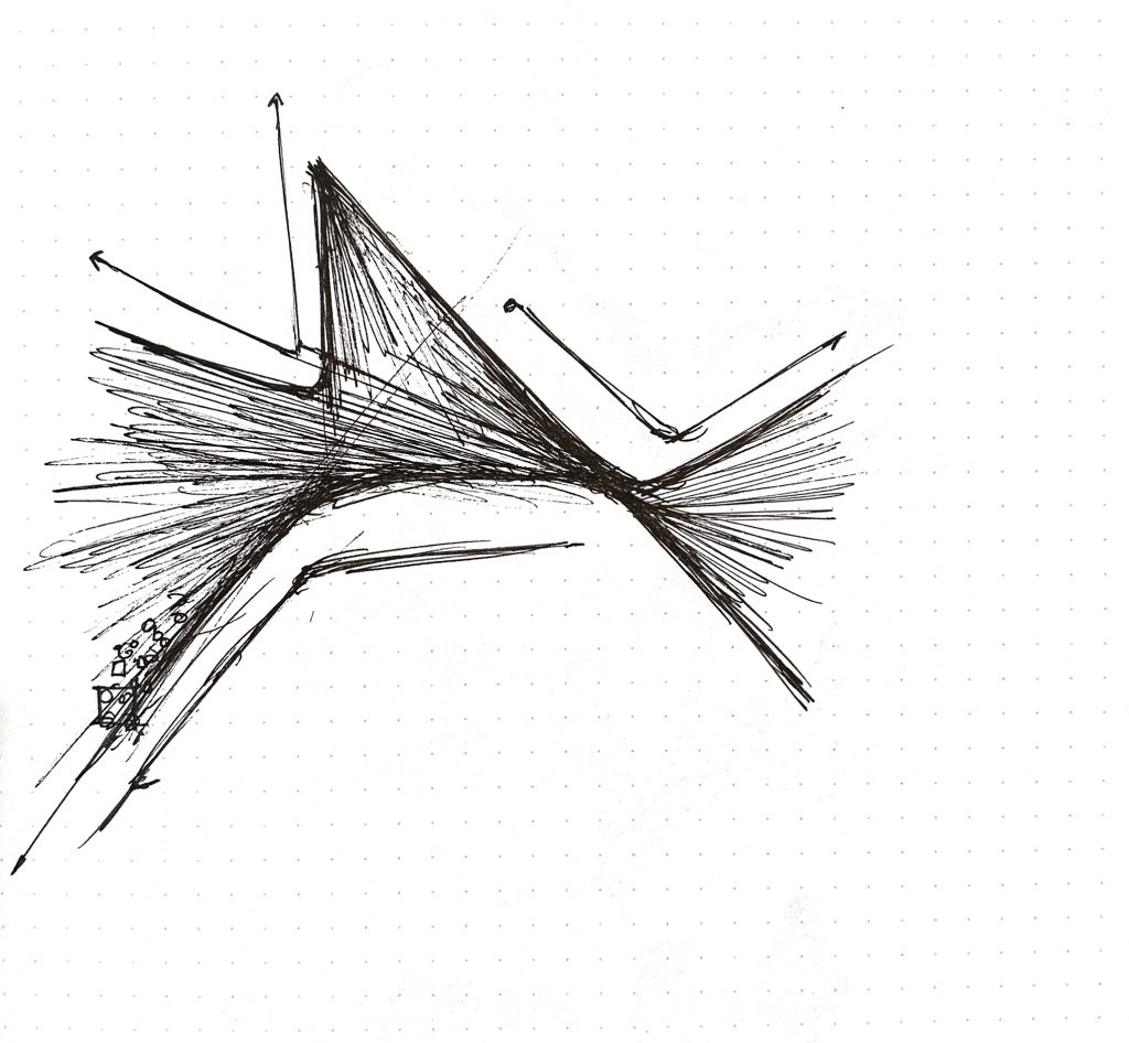
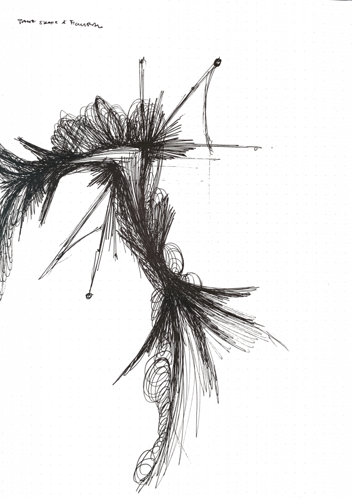
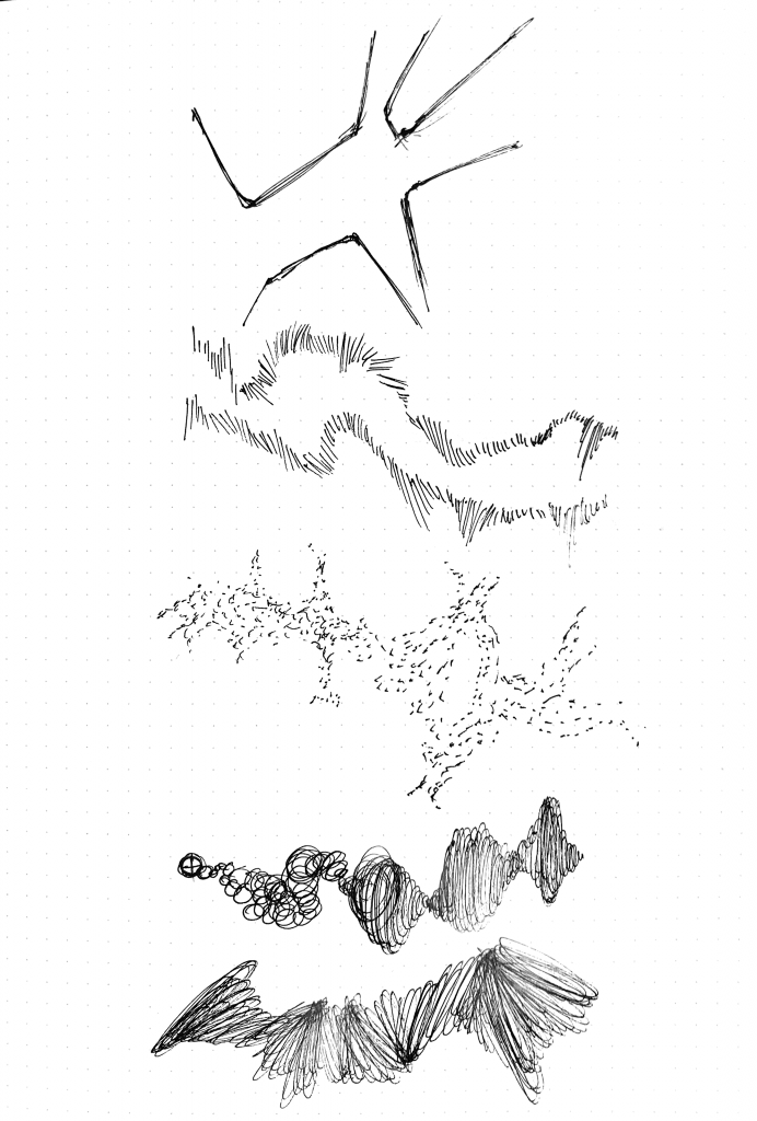
This project will be a collaboration between Shariq Shah and I. We plan to create a dynamic data visualization to represent the patterns of weather and their effects on landscapes. As of now, the weather effects we will be focusing on will be wind and water. These effects will be driven by properties based on real world data and will react to the topography image map. This map will be a gradient based height map of a topography and will potentially change when the user interacts with the visualization, subsequently shifting the patterns of the weather effects. We also plan to use color gradients and other properties such as movement speeds and direction to further convey the environmental effects. Some precedents we have been looking at while coming up with the design are the works of Refik Anadol, Earth by Cameron Beccario, and Drawing Water by David Wicks.
Skip to content
![[OLD FALL 2019] 15-104 • Introduction to Computing for Creative Practice](wp-content/uploads/2020/08/stop-banner.png)
[OLD FALL 2019] 15-104 • Introduction to Computing for Creative Practice
Professor Roger B. Dannenberg • Fall 2019 • Introduction to Computing for Creative Practice