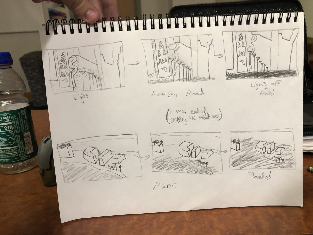
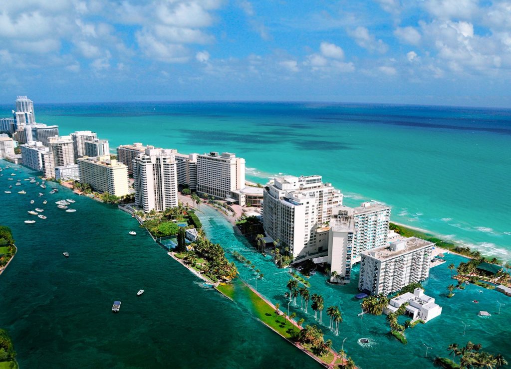
To get inspiration, I looked at the flood map for 2015, and was immediately shown areas of China. I saw Shanghai, and decided to look up landmarks in that area. A great one was the Nanjing Road, a very colorfully lit street. After looking at the Patatap video by Jono Brandel, I decided to do a project changing on a beat. It would start out with a hard coded version of the landmark, then on each beat it would change, showing the water level rising and landmark degrading and losing its beauty. The lights will all be grey/off, the ground not visible. I may or may not use multiple landmarks. Most likely I will. I want to have these landmarks be from around the world, basically showing how this affects many people and many different types of countries/states/areas. Other places threatened by flooding are Florida, parts of Vietnam, parts of Thailand, parts of Bangladesh, parts of Iraq, etc…
- I don’t really know anyone in the class so I probably wont be collaborating.


![[OLD FALL 2019] 15-104 • Introduction to Computing for Creative Practice](wp-content/uploads/2020/08/stop-banner.png)