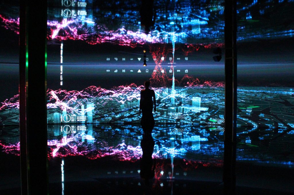
GITEX is a project created by Marek Bereza and Felix Faire (of Marshmallow Laser Feast, an experiential collective based in London) that visualizes sets of urban data from Dubai in an interactive and immersive experience for the user. The 3D visualization and interaction software was written from scratch in C++.
Data is often hard to comprehend, especially for those unfamiliar with how to read data, yet it’s relevant to all our lives and the decisions we make. By turning sets of urban data into a visual, interactive experience, this project allows a resident of Dubai (or anyone else) to explore the city in perspectives that otherwise wouldn’t be accessible. I particularly admire this project because it both enables the average person to make more informed decisions about their own city, while also being a beautiful work of art in itself.

I don’t know much about the algorithm that generated the work, since it was built in scratch in C++. I do know that it must have incorporated a large variety of sets of data (traffic collisions, topographical data, geographic data, types of locations, etc).
Because the creators wrote the program from scratch, they would’ve implemented their own way of visualizing the city. It’d be fascinating if different people were to create their own version of this program: each person could convey which aspects of the city they find most important. For someone environmentally focused, they could emphasize green space and natural life in their visualization. For someone culturally focused, they could highlight the different cultures, ethnicities, and neighborhoods within a city.
While this is an amazing piece of work on its own, it’d be ideal if the concept could be transformed into a program where non-coders could upload their own sets of data and create personal maps of cities. This would enable people to communicate much more effectively in regards to any urban issues to want to advocate for.
![[OLD SEMESTER] 15-104 • Introduction to Computing for Creative Practice](wp-content/uploads/2023/09/stop-banner.png)