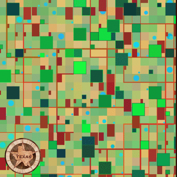
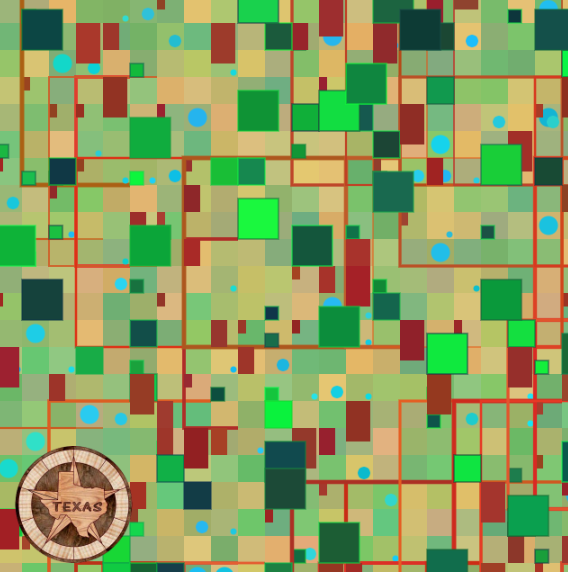
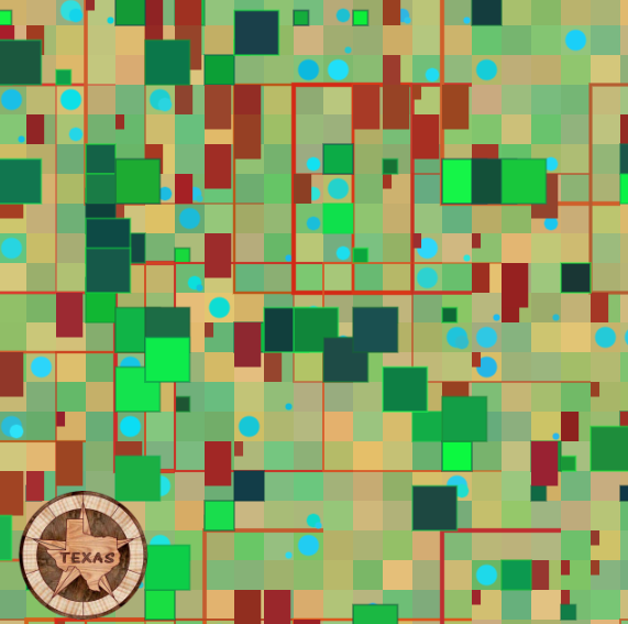
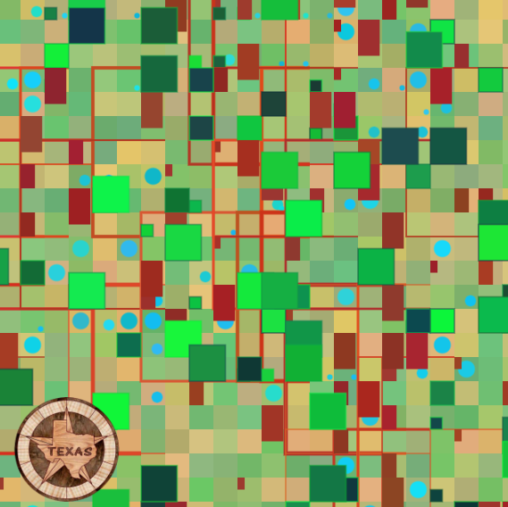
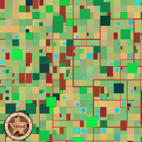
Description:
I’m very interested in the structure and chaos of city planning and the geometry that results from it. View from an aerial perspective, there exists symmetry and asymmetry, as well as a lack of identity.
Technical Process:
I chose to use basic shapes that are typically seen when you view grid-plan cities from an aerial view. Artifacts include trees, house roofs, and bodies of water all from three for loops. Each time the mouse is clicked, the city grid layout is always different, but overall, they end up looking almost the same – akin to perceptual differentiation. The colors are generated randomly but limited to certain RGB codes that represent the formal colors of each artifact. I was inspired by my hometown, where our city grid is very visible aerially because of our flat terrain.
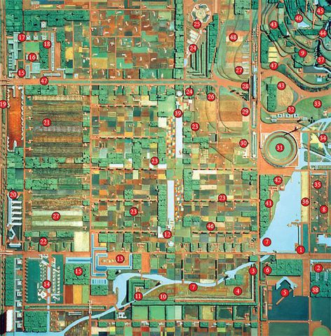
Inspiration picture of a city grid plan